
Seattle’s new Waterfront Park is the result of one of the largest civic transformations in the United States.
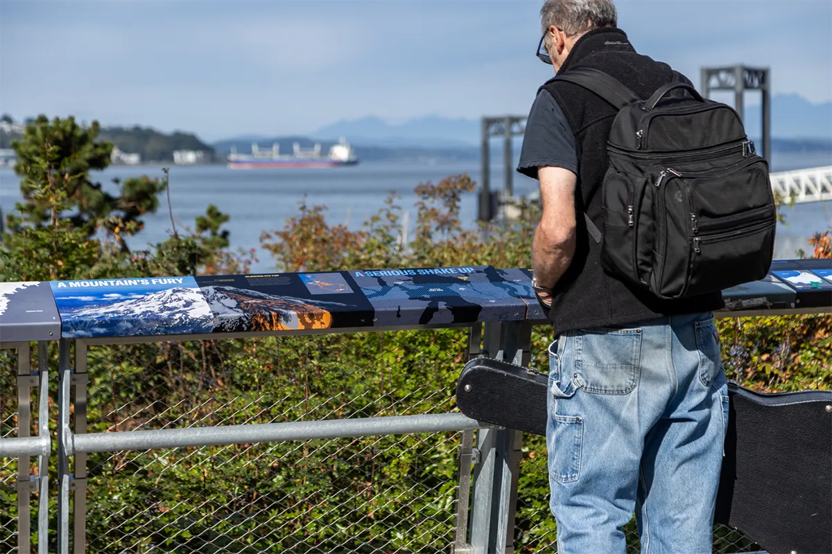
After the removal of the Alaskan Way Viaduct and the construction of a two-mile underground tunnel, Seattle was able to reimagine more than 20 acres of public realm along Elliott Bay. The redevelopment replaces a double-deck highway with a pedestrian promenade, protected bike lanes, new public spaces, and a direct connection to Pike Place Market through the Overlook Walk. As the physical park takes shape, a second layer has also emerged: a comprehensive interpretive system that turns the waterfront into a free outdoor museum.
Since 2017, Studio Matthews has led the vision for this free outdoor museum in collaboration with the City of Seattle, Field Operations, and a group of community advisors. Together with the City of Seattle, HistoryLink, and Tahoma Peak Solutions, the Studio Matthews team researched, developed, and designed more than 50 interpretive moments that stretch the length of the new park. The goal is to bring the region’s layered history, cultures, ecologies, and stories into public life in a way that is accessible to everyone.
The park has finally opened, and the interpretive system is now being installed after eight years of development. This is the first moment the public can experience the project as intended.
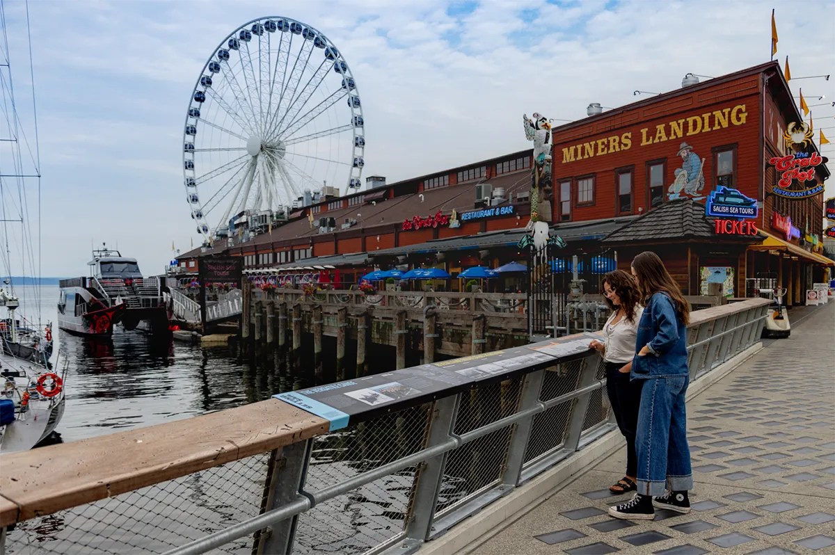
The interpretation is conceived as an open-air museum embedded directly into the landscape. Visitors encounter the region’s geology, Indigenous technologies, labor histories, maritime industries, environmental restoration work, and shifting urban form as part of their daily passage along the water. The variety of formats includes freestanding structures, handrail graphics, etched metal edges, small embedded plates, and large illustrated panels. This multi-scale distribution ensures that interpretation is not concentrated in a single zone but woven through the full 1.2-mile promenade and its terraces, stairs, and crossings.
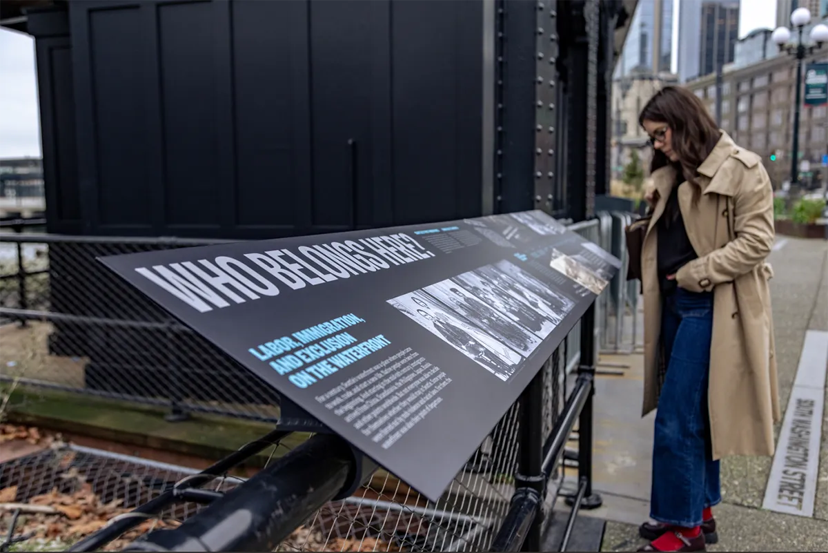
What sets this project apart is the degree of physical and conceptual integration between interpretation and landscape architecture. The team worked closely with Field Operations and LMN Architects to embed the interpretive elements directly into existing landscape features. Graphics wrap onto handrails, planter edges, and retaining elements, reducing clutter and making the interpretive system feel like an inherent part of the park’s structure. This required ongoing coordination over several years as the built environment evolved. The result is a unified experience in which landscape and interpretation operate together, rather than as separate layers. It is an uncommon level of integration for a public project of this scale.
Tribal elders, cultural experts, historians, and leaders from Seattle institutions reviewed and refined stories in a series of workshops. Contributors included tribal representatives from the Muckleshoot and Suquamish communities, as well as experts in geology, food systems, maritime history, and civic development. This was not a brief consultation but a sustained, year-long advisory process, which is uncommon for a civic interpretive project of this scale. It ensured that stories long overlooked in mainstream civic narratives were included and presented responsibly. Themes such as Indigenous aquaculture, early trade networks, migrant cannery labor, and the lived experiences of multigenerational communities are brought forward alongside more familiar accounts of urban growth.
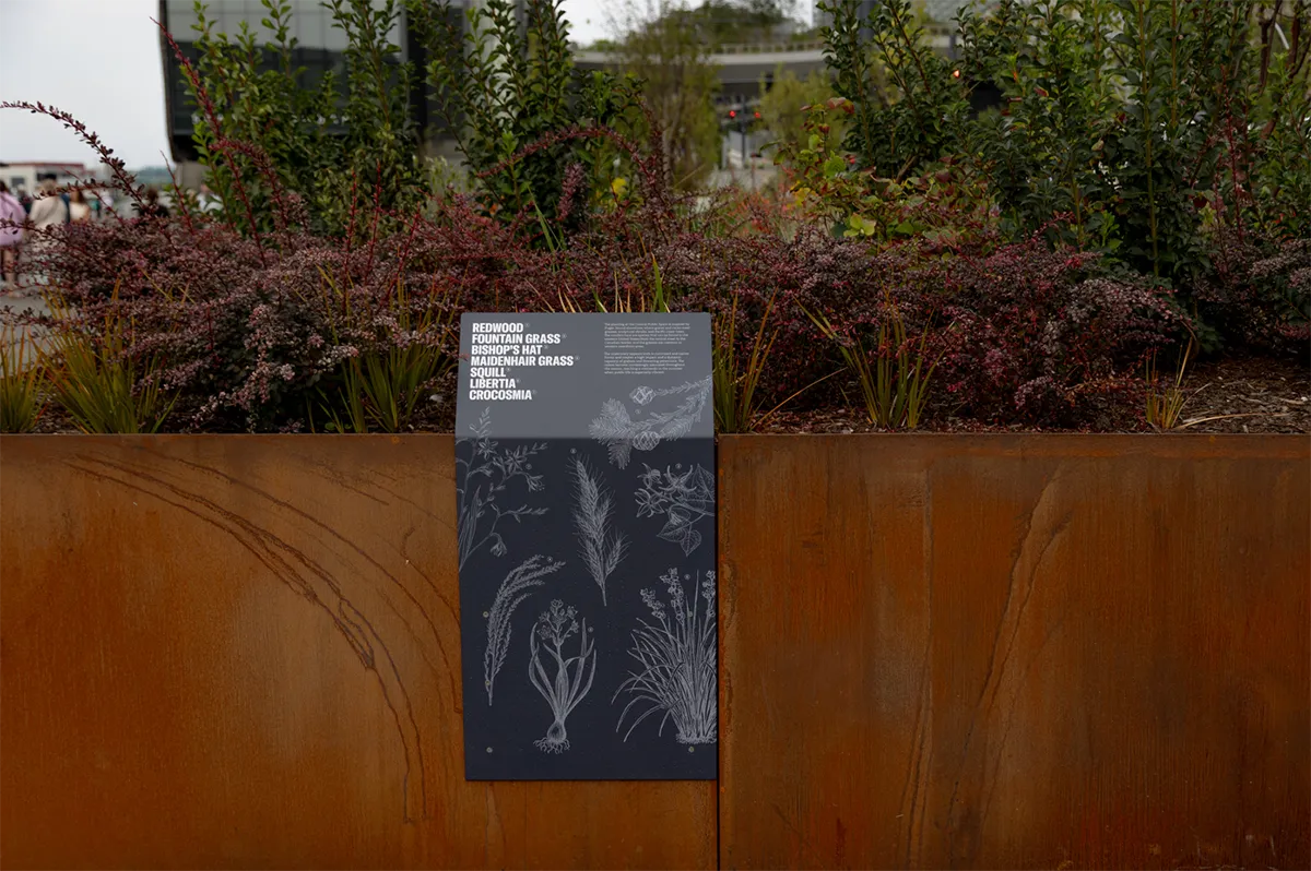
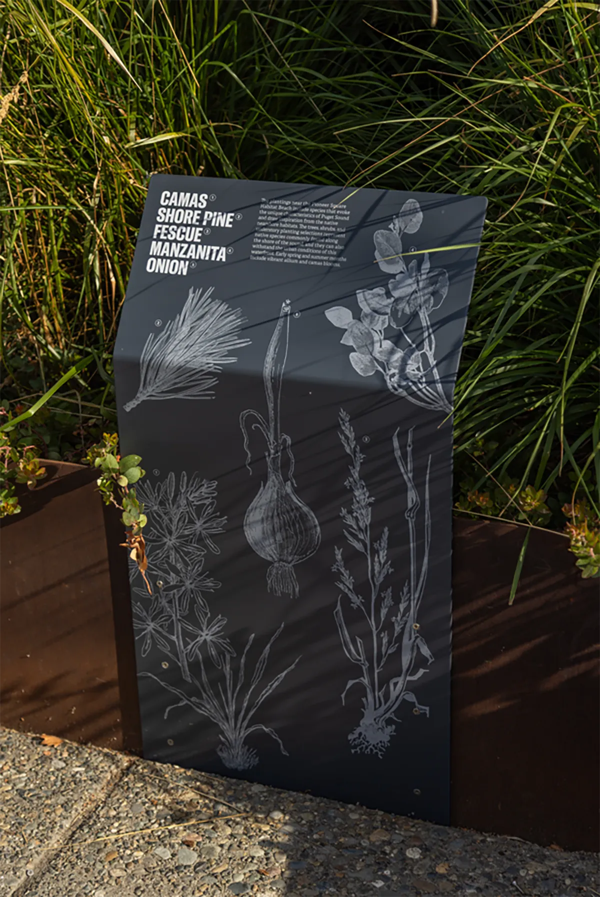
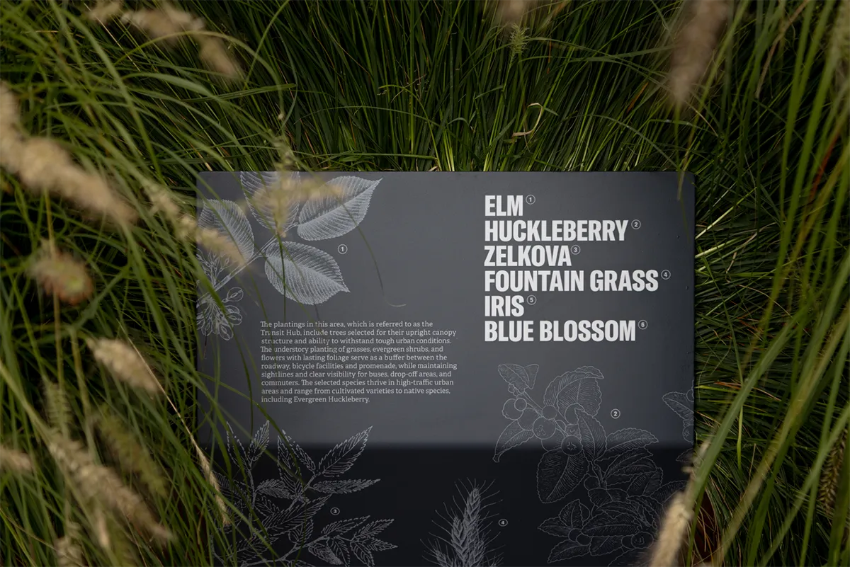
Instead of organizing content around single events or pinpointed sites, the team developed broad themes that connect past and present. This allowed stories from different eras and communities to be placed in proximity, revealing relationships that are rarely acknowledged in traditional civic interpretation.
Many of the interpretive moments reveal histories and ecologies. These include the original shoreline that once curved deep into what is now Pioneer Square, the engineering of the new seawall designed to support juvenile salmon, and the hidden marine life beneath the promenade’s glass-block sidewalk. Other stories illuminate Indigenous technologies, such as clam gardens and plant harvesting methods, that shaped the shoreline long before industrial development. Still others describe the complex labor networks that powered maritime trade and shaped the cultural fabric of the city. By interpreting both visible and invisible layers, the project provides visitors with a much more complete understanding of the waterfront.
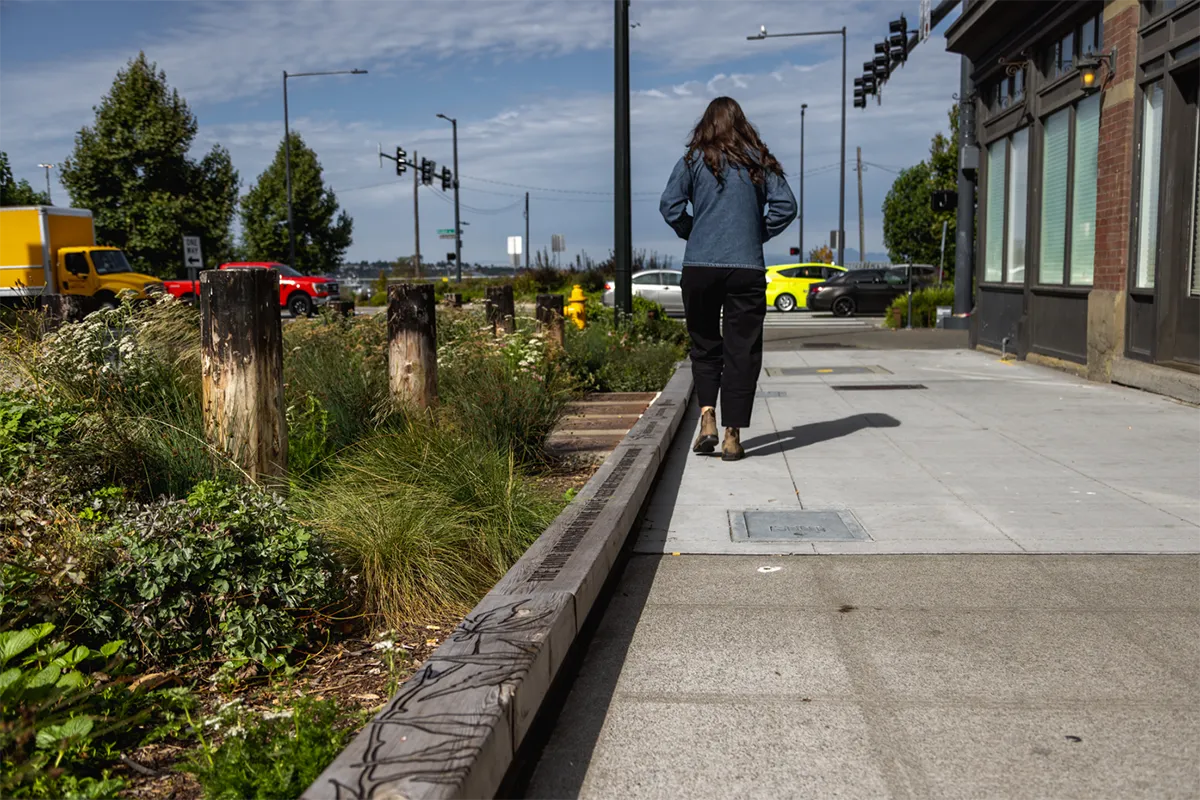
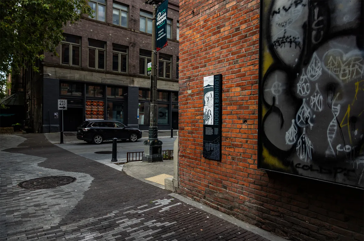
The scope of the project is distinctive. The interpretive system spans the entire length of the park and intersects with multiple built zones, including waterfront overlooks, the Ocean Pavilion, and the Overlook Walk connection to Pike Place Market. The work unfolded over eight years through cycles of site analysis, content research, prototyping, material testing, and fabrication review. Durability was a central concern given the extreme conditions of the waterfront. Graphics are produced through a sublimation process that embeds imagery into the material, creating surfaces resistant to UV exposure, salt air, and constant public contact. Elements are engineered to withstand the elements, time, and the impact of the projected 15 million visitors each year.
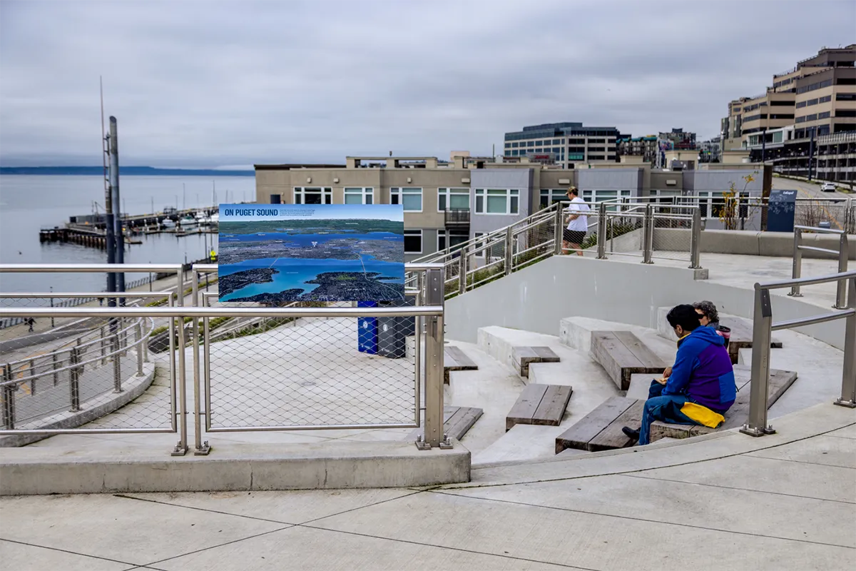
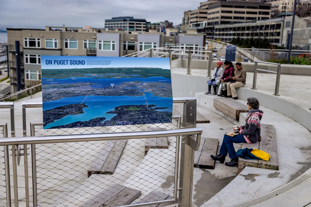
The interpretive work has also expanded beyond the boundaries of Waterfront Park. In partnership with MIG, the team developed the Pioneer Square Shoreline Alley project, which uses paver patterns, illustrated panels, and etched kickrails to trace the original shoreline and depict Indigenous food-harvesting practices. The roof terrace of the Aquarium’s Ocean Pavilion includes interpretive elements that help visitors understand their position in the landscape. New murals for Pike Place Market are currently in development, extending narrative elements up the hill, with projects touching nearby Olympic Sculpture Park and the Elliott Bay Connections project underway.
The fact that Seattle’s new waterfront has been so widely embraced makes the decision to embed a free museum into the park all the more significant. People are coming for the views, the ferries, and the new public spaces, and in the process they are encountering stories. Because the interpretation is integrated into handrails, planter edges, overlooks, and circulation paths, it is encountered naturally rather than through intentional effort. The strong public response to the park (expected annual visitors will top 15 million) means this embedded storytelling is not peripheral. It becomes part of the new waterfront’s identity and shapes how people understand the place they stand in.
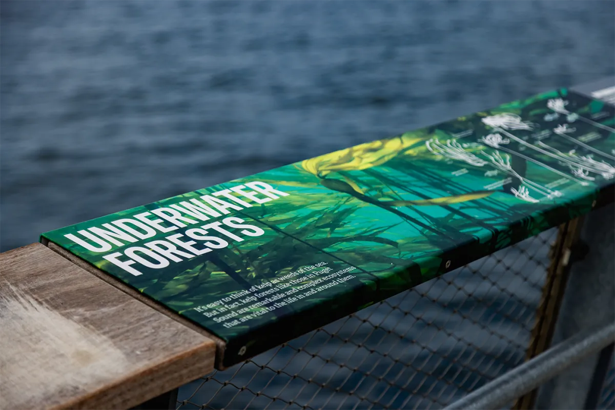
Together, these projects create a growing network of public interpretation that connects neighborhoods along the water and helps residents and visitors understand how the shoreline has shaped the city. As Waterfront Park opens in full, the interpretive system offers visitors a layered understanding of the city. It reveals the hidden past, clarifies the present, and invites participation in the ongoing story of Seattle’s connection to its shoreline.
Seattle Waterfront Park Interpretation
Client: City of Seattle
Signage & Wayfinding Design: Studio Matthews
Content Research:
Jennifer Ott, HistoryLink.org
Valerie Segrest, Tahoma Peak Solutions
David B. Williams, Geologist
Jessica Murphy, Construction Program Manager
Landscape Architect: Field Operations (Seattle Waterfront), Pioneer Square (MIG);
Fabricator: Knight Signs
Community Partner: Friends of Waterfront Park