
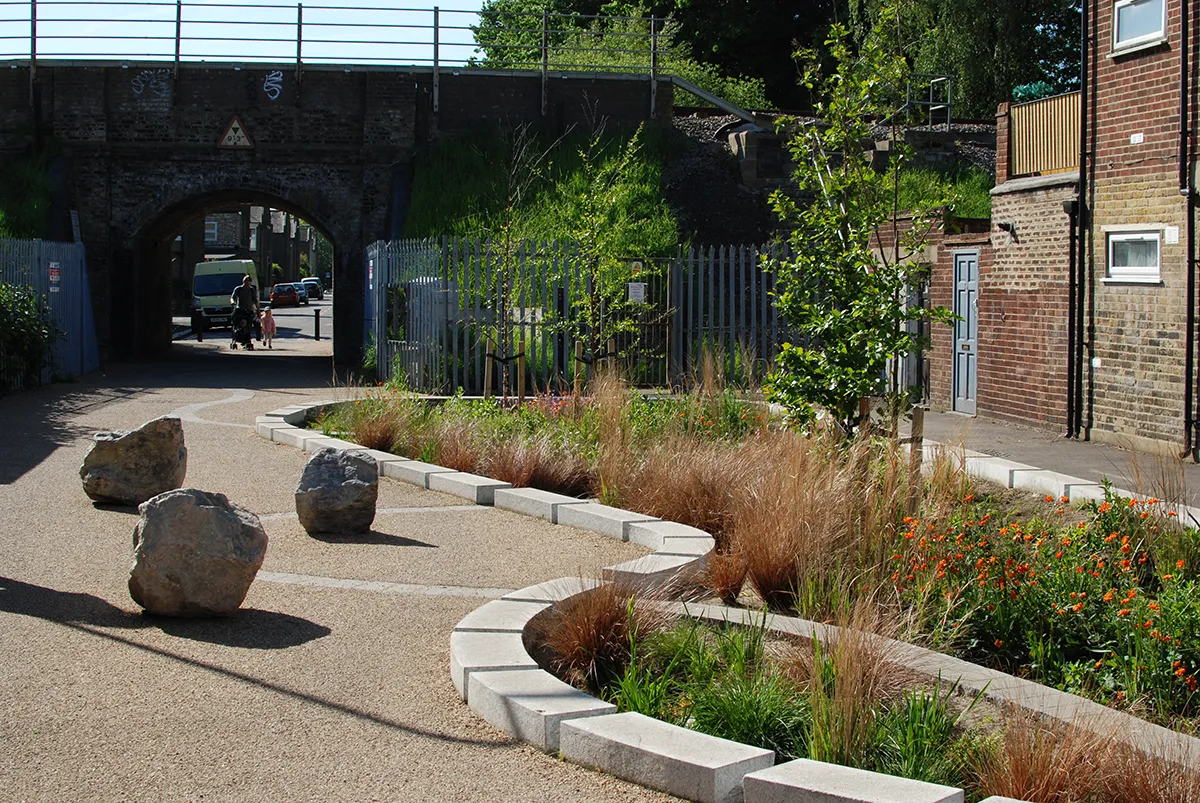
London’s rivers, canals, reservoirs and wetlands shape the character of the city. They provide habitats for wildlife, help manage flood risk, cool urban areas and offer places for recreation to promote enhanced well-being. However, access to blue space remains unevenly distributed across the capital, with many waterways also facing pressures from pollution, climate change and urban development.
To support efforts to address these challenges, the Greater London Authority (GLA), with the help of LUC, has developed the London Green Infrastructure Framework (LGIF): a city-scale evidence and mapping tool that identifies where investment in green infrastructure can deliver the greatest benefits for people, nature and climate resilience. The interactive online platform combines London-wide spatial datasets on green infrastructure provision and need, helping decision-makers understand where interventions are most needed and which types of projects could have the greatest impact.
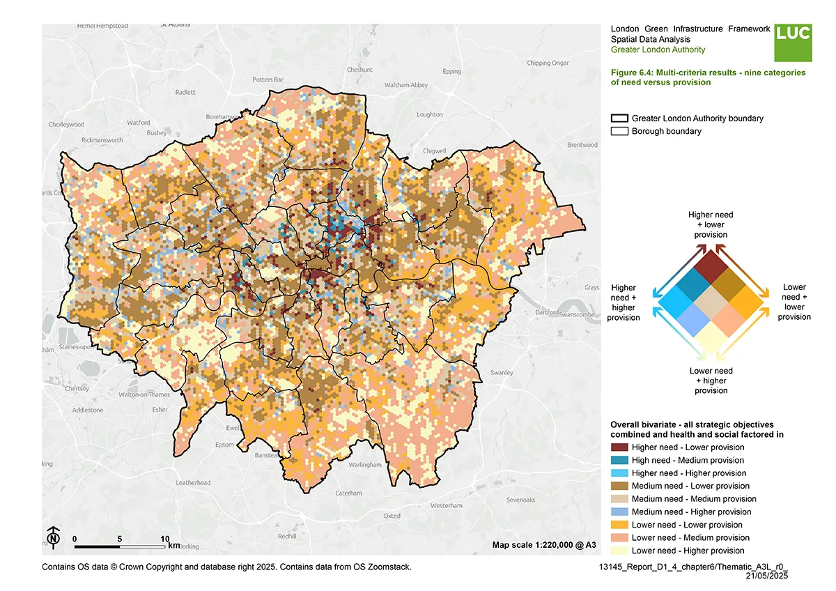
The LGIF responds to a growing need for an updated evidence base that reflects current environmental priorities, policy ambitions and advances in spatial data analysis. It also aligns with the emerging London Local Nature Recovery Strategy, creating a more integrated approach to planning for nature, water and public space across the capital.
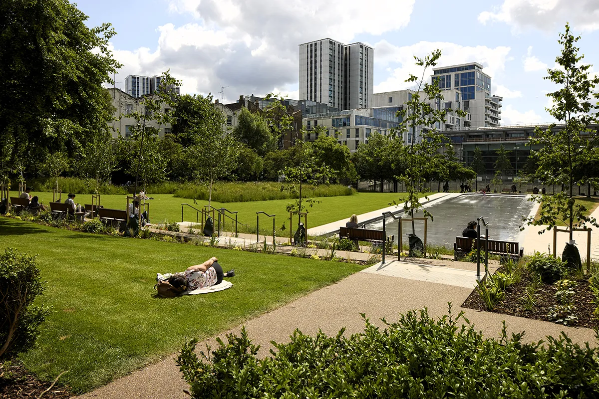
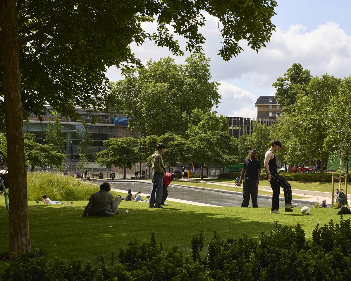
A key element of the LGIF is its focus on water. Two of the ten strategic objectives assessed across London are ‘improved access to blue space’ and ‘clean water’.
These objectives recognise that waterways are not only environmental assets but also important public spaces that contribute to physical health, mental wellbeing and climate resilience. The LGIF helps identify locations where communities have limited access to blue infrastructure and where targeted interventions could strengthen connections between people and water.
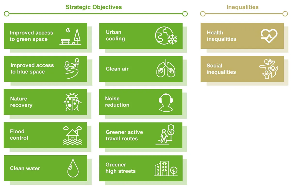
The ‘clean water’ objective focuses on the role green infrastructure can play in improving the quality of London’s water environment, while maximising the benefits of water resources for residents. Alongside this, the ‘flood control’ objective highlights opportunities for nature-based solutions that can help manage both surface water and river flooding. Together, these objectives encourage a more integrated approach in which landscapes work harder to improve water quality, support biodiversity and reduce climate-related risks.
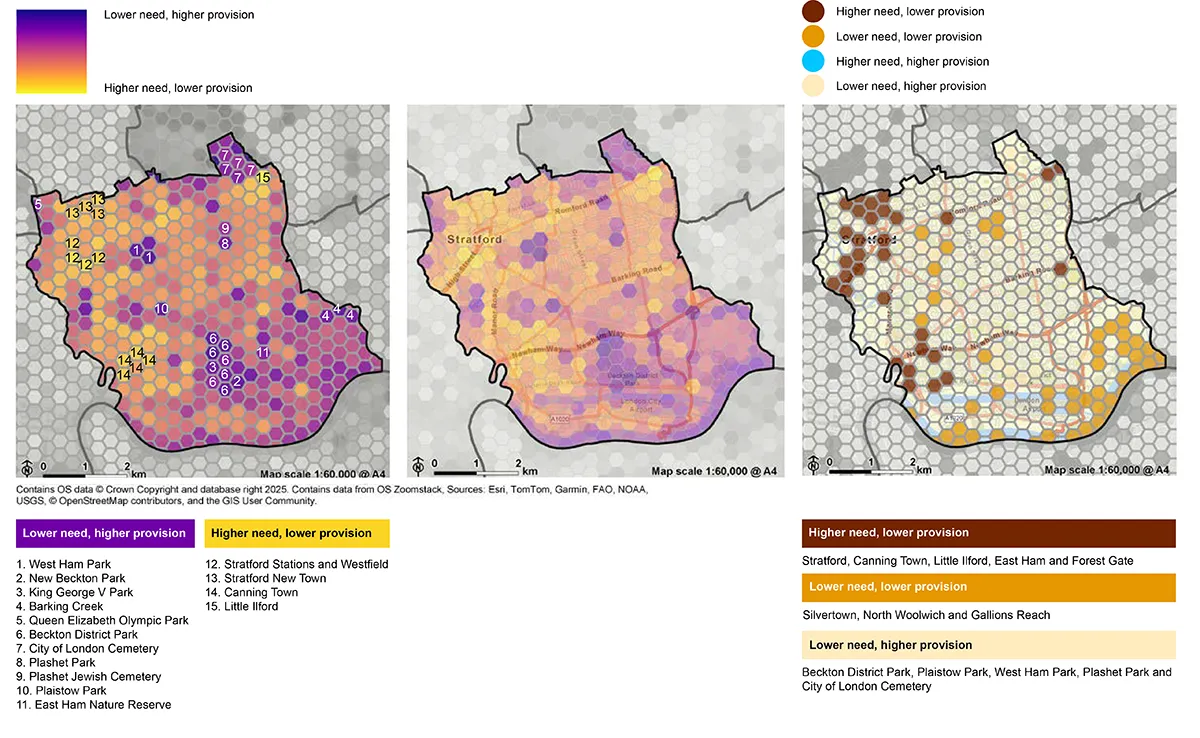
Rather than looking at individual issues in isolation, the LGIF examines the relationship between need and existing provision across London. Using a grid of more than 15,000 hexagons, each just over 10 hectares in size, it combines data relating to green infrastructure, environmental conditions, health outcomes and social inequalities. This allows users to identify locations where multiple challenges overlap and where landscape-based interventions could deliver several benefits at once.
For example, an area may experience poor access to waterways, elevated flood risk and significant social inequalities. The LGIF can highlight these locations as priorities for investment and help guide decisions on projects such as wetland creation, river restoration, sustainable drainage systems, waterside green routes or improvements to public access along blue corridors.
The project drew on extensive engagement with more than 100 stakeholders, including local authorities, green infrastructure practitioners and policy teams. This collaborative process helped shape both the analytical approach and the tool’s functionality, ensuring it could support decision-making at multiple scales, from strategic planning across Greater London to site-specific landscape projects.
Beyond identifying priorities, the LGIF aims to support a more equitable distribution of environmental benefits. Health and social inequalities have been embedded within the analysis, helping direct investment towards communities where green infrastructure can make the greatest difference. The LGIF moves beyond traditional mapping exercises to provide a strategic decision-support tool that links environmental improvement with wider social outcomes.
As cities continue to respond to climate pressures, biodiversity loss, and growing demands on public space, understanding the connections among water, landscape, and communities becomes increasingly important. By bringing together environmental, social and spatial evidence in a single platform, the LGIF provides a practical way to identify where investment can create cleaner waterways, improved access to blue space and more resilient urban landscapes for the future.
Access the LGIF interactive map and supporting materials: https://www.london.gov.uk/programmes-strategies/environment-and-climate-change/parks-green-spaces-and-biodiversity/green-infrastructure/london-green-infrastructure-framework
Read more from LUC: https://landuse.co.uk/news/london-green-infrastructure-framework-launches/
Client: Greater London Authority
Consultant: LUC
Project launched: 2026
Images and Text: LUC