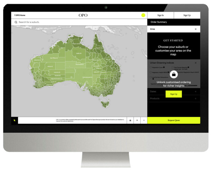
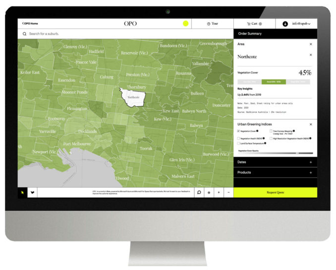
The OPO Urban Greening Platform is designed to make easily accessible environmental analytics products using near real-time satellite data for more sustainable city planning.

OPO’s platform www.officeofplanetaryobservations.com provides an affordable and accessible data science solution for better sustainable decision making for city planners to better connect the built environment with nature.
OPO streamlines and analyses satellite data from multiple sources, ingests that into its Microsoft Azure based AI infused platform, where unique algorithms interpret the data and serve insights to users in a digestible form.
Posing the simple question “How Green is your Suburb?”, the OPO Urban Greening Platform (Beta) makes the ordering of decision-ready data derived from satellites possible without the need to be a data expert. Analysis Packs are focused on providing data focussed on vegetation cover and health, land surface temperature and tree canopy maps easily ordered via the OPO Urban Greening Platform.
Founder and CEO Thomas Gooch says that the overarching ambition of OPO is “To work with nature rather than take from it, creating greener, more liveable and sustainable cities is at the heart of our mission. Working with a talented team of data scientists, the opportunity to work with Microsoft for Space Startups Australia and industry leaders like MAXAR, means that there is high usability for the end customer. It means you don’t need to have a PhD in data science to make local impact on climate change.”

Gooch, with a background in Landscape Architecture, knows the need to argue for nature when designing cities. OPO is excited to serve a variety of customers in efforts for the greening of cities that include local government, town planners, landscape architects and urban foresters. Over time, OPO expects enthusiasts and incidental users will be engaging to better understand the health of their local environment.
OPO has recently been selected to join Microsoft for Space Startups Australia.


