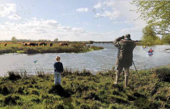
The ‘Flevo’ polder with its major city Almere is located in the middle of Netherlands. The ‘Oostvaarderplassen’ in the north of this polder is a protected nature area with different kind of animals like red deers, foxes and wild horses. There is a demand for an ecological corridor between the ‘Oostvaarderplassen’ and the ecological reserve of ‘De Veluwe’ located in southern direction of the Netherlands. As a result, animals will have the opportunity to migrate and exchange area. So the extension of Almere city which needs 10.000 new houses and an ecological corridor are combined in the same area.
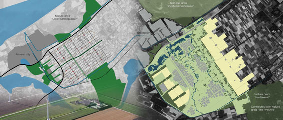
The ‘Flevo’ polder used to be a sea floor, in the past the sea water was pumped out and the area was transformed into a polder to enlarge the agricultural land. Nowadays is visible the typical polder structure with straight lines, plots, roads and ditches. The typical elements in this area are the farm clusters and tall wind mills along the roads. This characteristic grid is one of the few “historical” traces in the project site.
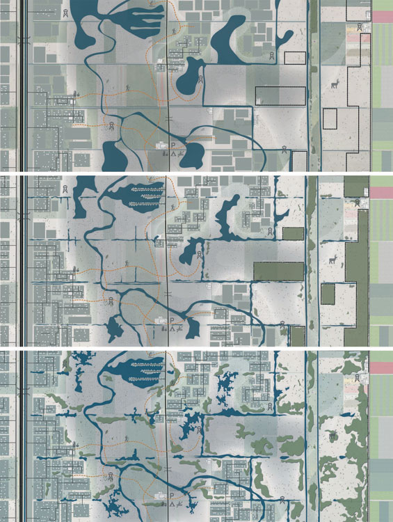
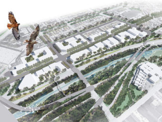
The concept is based on the idea of “making and breaking the grid”. It wont be created only one corridor. It will have more corridors to provide the connection between different nature areas and the surroundings of the project site. This master plan consists in different natural habitats combained with organic urban growth creating the habitats for wildlife and high quality living area. The new nature form will break the poldergrid, but on the other hand, the new urban development which is based on the old polder structure, will make the grid again.
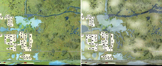
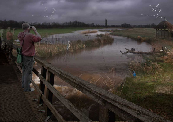
STUDENT PROJECT | “Making and breaking the Grid” | Almere Netherlands
This project was developed by the students of the University of Larenstein – Wageningen University
Project Credits | Sijmen Weesie, Michal Bolerázsky, Chiel Coulen ,Jaap Duenk and Sybren Lempsink
Visualizations | Sijmen Weesie

