The HASSELL+ ‘Collect & Connect’ proposal for South San Francisco is part of the Resilient by Design Bay Area Challenge. This year-long program combines the creativity, knowledge and experience of residents, public officials and local, national and international experts. Their brief? To come up with inventive, community-based solutions to sea level rise, severe storms, flooding and earthquakes.
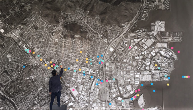
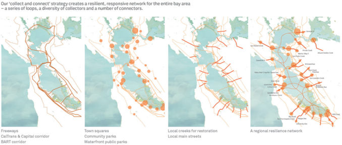
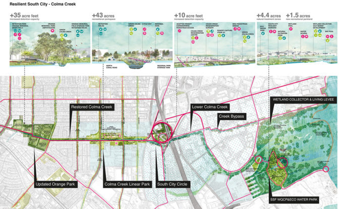
Through extensive community engagement, research and an inclusive design process, the HASSELL+ collective mapped out a range of ways to make South City stronger and reverse the area’s separation from the water – by restoring public access to it and establishing more open spaces and parks.
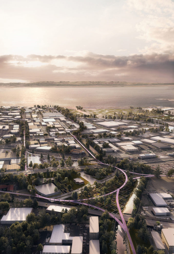
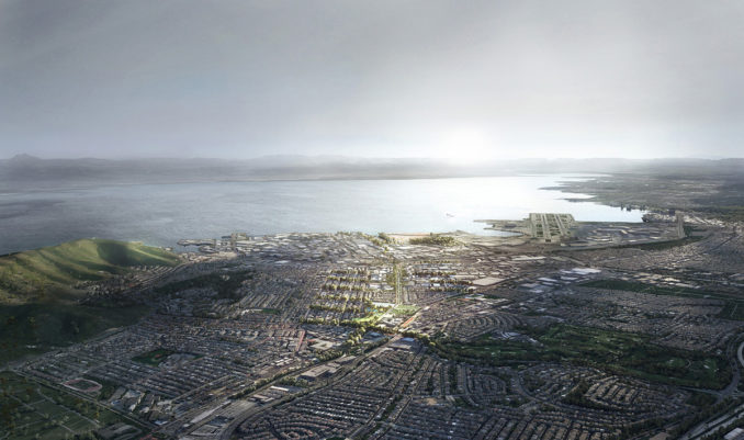
Located in San Mateo County, South San Francisco is the bay’s self-proclaimed ‘industrial city’. Major freeways and rail lines link the city to the region, but also divide the city and limit residents’ access to the bay. The South City watershed includes South San Francisco, as well as Colma, San Bruno and Daly City. Over the last half-century, residents have lost their historic connection to the water. Parts of the community suffer from flooding and their access to the shoreline is blocked by industry. And, like the entire Bay Area, San Mateo County is at risk from sea-level-rise and seismic events.
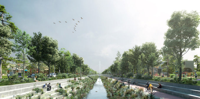
Planning a stronger regional structure
Our team’s ‘Collect & Connect’ strategy proposes a resilient, responsive network where creeks and streets could be transformed into linear corridors of water management and community gathering to transform the regional structure from a vulnerable loop into a resilient network, says Richard Mullane, Principal at HASSELL.
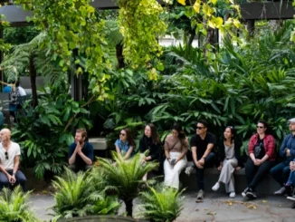
“We drew heavily from community voices to ensure the proposal truly reflects local needs and aspirations – transforming the old bank on Grand Avenue, that had been vacant for decades, into a community meeting place, design hub, education centre and display space,” Richard said.
This ‘Resilient South City’ storefront became the place to learn about the project, chat with the design team, hear from community partners and talk to city and county officials. A virtual presence was also established to reach a wider audience.
Through this process, the collective determined that public open space is critical to building resilience in four key areas:
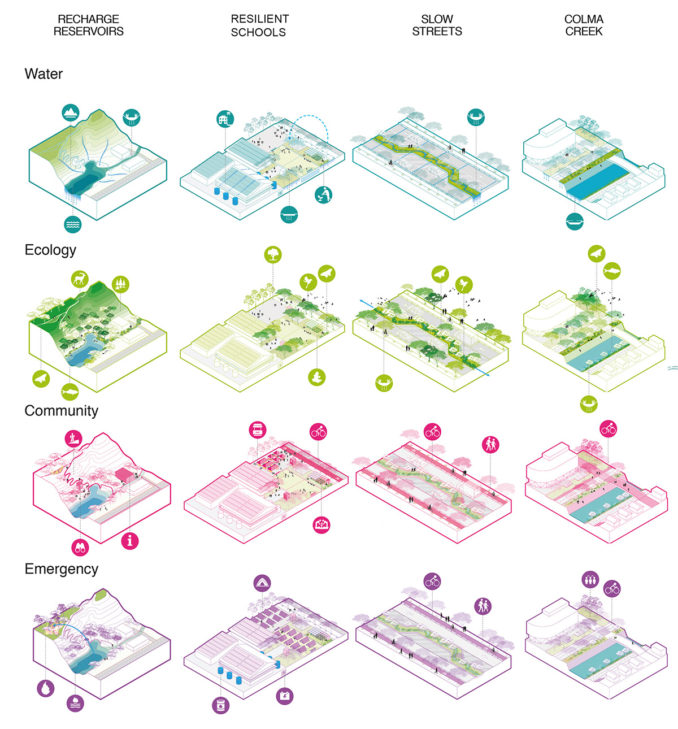
_Water – Aside from being ‘green infrastructure’ to manage water, reduce urban runoff and reduce urban heat, it can also be a critical early warning mechanism for flooding, by providing open green inundation areas which give visible signs to the community that flood waters are rising.
_Ecology – Public open space planted with natives from the historic Colma Creek watershed would support the biodiversity needed to create resilient landscapes. Native landscapes require less maintenance and are more resilient to extreme weather events.
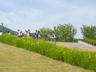
_Community – Public open space is where communities gather. Social resiliency is built by communities knowing one another and these spaces, and the facilities built within them are key. They host events like markets and sports, and support communities to live healthy lifestyles together.
_Emergency – History shows that public open space is extremely important in allowing communities to gather, organise and rebuild in times of disasters. They can and have become centers of shelter, as well as temporary hospitals and schools after major earthquakes or fires.
Design opportunities for South City
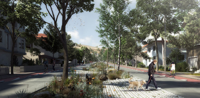
Subsequently, opportunity sites were identified across the Colma Creek watershed and redesigned to form a practical, dynamic network of places that support people and the environment. Highlights include:
_A wider, greener creek manages flooding and creates the right conditions for a sequence of new parks
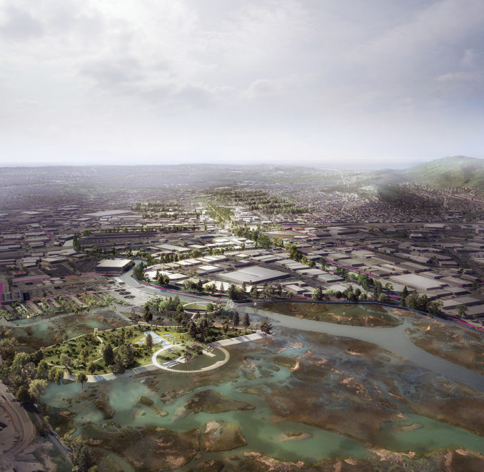
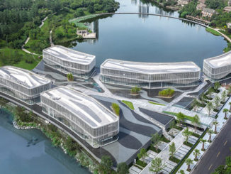
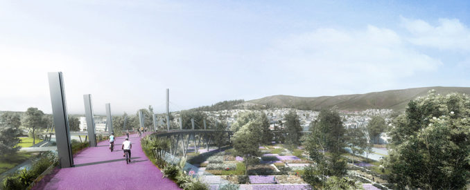
_A South City Circle Bridge serves as a walking and cycling gateway to all transport modes and a bold statement about community priorities
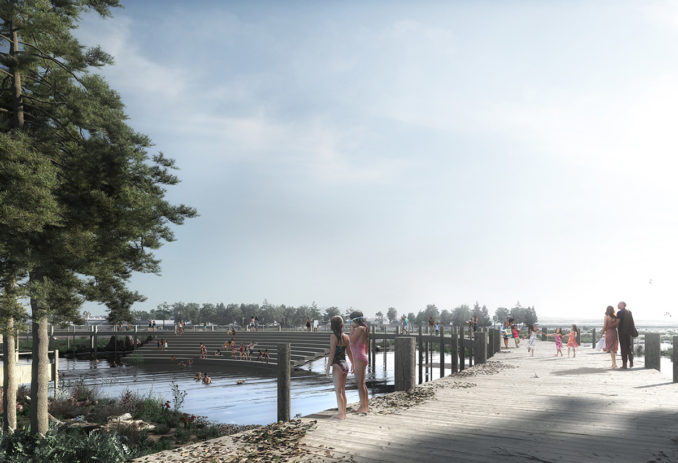
_An ‘eco waterpark’ at a revamped water plant becomes a teaching tool and natural shoreline swimming pool
_A native plant nursery helps control flooding and treats runoff from the nearby highway to improve the quality of water flowing into the creek and bay
_A ‘living levee’ forms a wetland for restoring habitat and holding storm water in extreme high tides
_Schools located on higher ground become hubs for water treatment and community recreation.
Together, these ideas make it easier to reach and enjoy the local creek and bay, reduce the impacts of flooding, build resilience to sea-level rise and return native flora and fauna to the area. Just as importantly, they make a healthy, active life near the water easier to imagine – and achieve.
Ultimately, by committing to ‘Collect & Connect’ both water and communities, a polycentric regional system can form that distributes amenity and strengthens the resilience and lifestyle of smaller cities, like South City, for the benefit of the entire bay area.
‘Collect & Connect’ – Resilient South City
Location: South San Francisco, United States
Designer: HASSELL+
Client: Resilient by Design Bay Area Challenge
Project team:
HASSELL+ collaborative design phase team:
_HASSELL (Landscape Architecture/Urban Design/Planning/Architecture) _Deltares (Hydrology/Geology)
_Goudappel (Mobility)
_Lotus Water (Hydrology)
_Civic Edge (Community Engagement)
_Idyllist (Technology)
_Hatch (Implementation)
_Page & Turnbull (Architecture/Historic Research)
_Brown and Caldwell (Hydrology & Governance)
Collaborators:
_San Bruno Mountain Watch (Community collaborator)
_South San Francisco Historical Society (Community collaborator)
_South San Francisco Youth Leadership Institute (Community collaborator)
Imagery: HASSELL+
Resilient by Design Bay Area Challenge: http://www.resilientbayarea.org/
‘Collect & Connect’ – Resilient South City – Shortlisted – 2019 WLA Awards – Conceptual category

