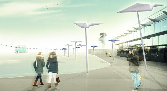
Groningen Airport Eelde will become a solarfield, which seizes the opportunity to make use of the landscape, ecology, and recreation potential as well as the agricultural possibilities. An iconic landscape park emerges with meaning at a regional scale and with the themes of aviation and energy. At the root lies the idea of revealing and ameliorating the existing qualities and thereby providing space for new uses of the land such as energy(crops), education and recreation.
By producing and using solar energy the airport is achieving and displaying its ambitions relating to sustainability. The solar panels are being placed in their ideal positions and such as to account for the highest possible spatial quality. Therefore they generate energy at their maximum capacity and demonstrate how a large-scale solar energy complex can be fitted into the landscape.
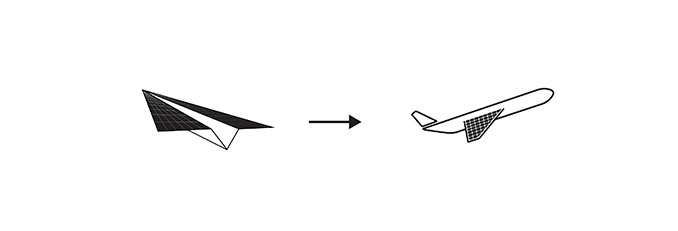
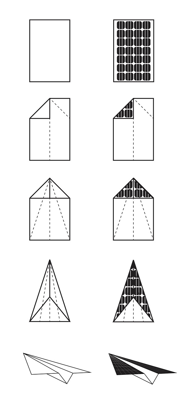
To many people flying equals freedom to explore the world. An environmentally friendly way of flying, therefore appears to be an attractive perspective. The plane that propels itself with solar panels on its wings, as is already happening in experiments, symbolizes this glorious view of the future. The ‘Paper Plane’ tells this story and invites visitors and passers-by to feel the excitement of an air journey.
Icon
‘Aviation Energy Estate’ is the symbol of a greener future at the airport and in the sky. With the ‘Paper Plane’ this symbol gets its own icon at the scale of the surroundings and the user.
The plane, simply folded from paper, is known to anyone from their youth and symbolizes the dream of being able to fly. By folding the ‘solar panel’ an icon is created that represents the dream of a green future full of opportunity, an encouragement to develop technology that will increase our possibilities. The ‘Paper Planes’ make this tangible in a poetic manner. At the entrance area of Groningen Airport Eelde they form a free flight of ascending and descending airplanes. The ‘solar panel’ ‘Paper Planes’ are placed on poles of differing heights. They will also mark significant points in the landscape park.
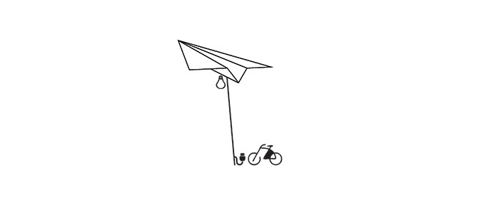
The energy, being generated, can be used in a variety of ways, naturally for airport activities. Better is the visible use. The energy produced by the ‘Paper Planes’ can be used to lit up the terrain. There are also options to charge an electric car or bicycle or even a mobile phone.
Kwh
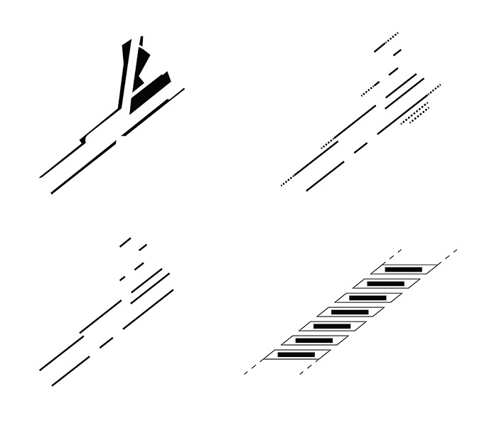
By organizing the solar panels in long rows, in the main direction of the airport, a dynamic pattern of stripes with irregular shape forms that have an iconic appearance seen from the air. With this configuration, it is possible to create a large surface of solar panels and thus yield a considerable amount of energy. All of the roofs as well as the covered walkways are covered with solar panels.
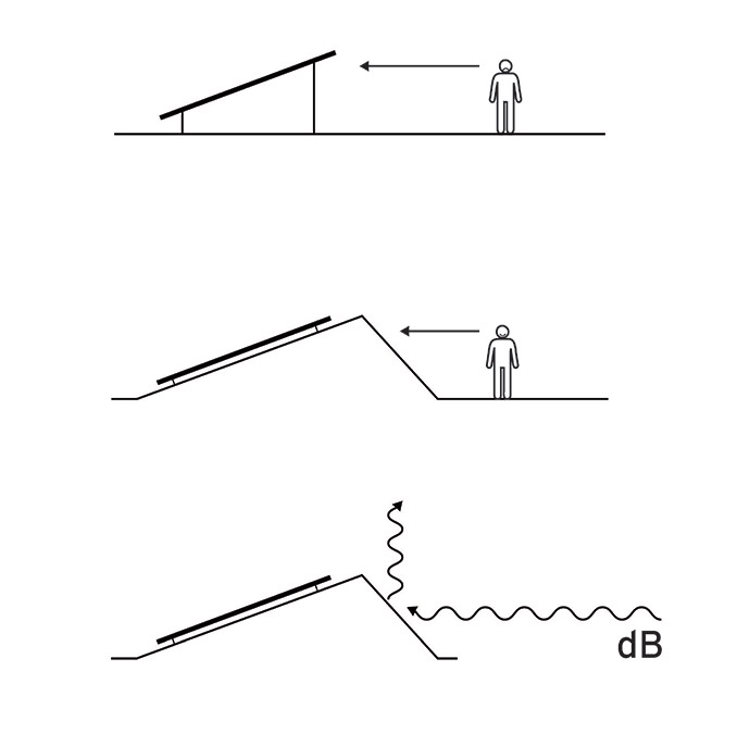
Because the panels are placed on angled ground forms instead of the common supporting structures they create a pure image of green and blue. The bottom of the panels is invisible, the technology can be fitted into the groundform. Having the panels just slightly detached from the groundform ensures natural cooling and ventilation.
The panels are set at the best angle to face to sun. The orientation of the panels and the stripes are angled. The groundforms are the piece of the puzzle to the direction of the panels and the direction of the stripes. The solar field gets a straight edge towards the surroundings related to the main axis of the airport. Runway and solar field form a unified whole. An additional advantage of the groundforms is that they make for an acoustic effect that reduces noise in the surrounding areas.
Park
The landscape park is the finale of the estate zone at the eastern fringe of Eelde-Paterswolde and connects with the natural stream valley lying west of Groningen Airport Eelde.
The area surrounding the airport has plenty of landscape and recreational qualities. Improving their accessibility and pointing them out as part of a landscape park is of great benefit to the area and region.
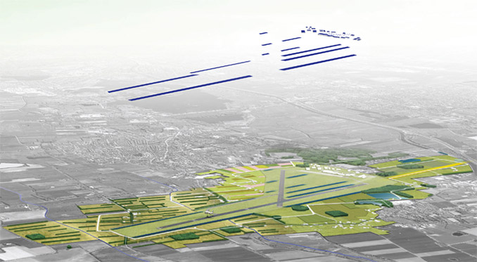
The park is formed by making a circular park structure with easily identifiable entrances. The structure connects the different parts and the entrances communicate where the park starts.
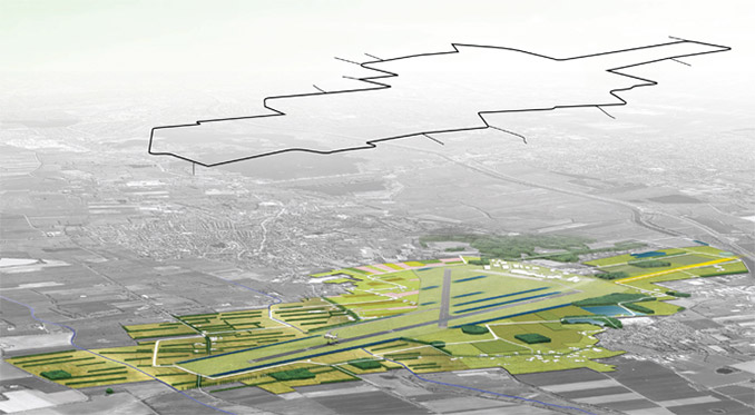
The existing roads that have, over the years, turned into dead end streets due to the construction of the runway are employed as entry roads. These roads are joined to the circular park structure. The latter is mainly made up of existing pathways and roads. Radar stations, antennas and service buildings are used in creating the decor for the park. New elements such as pavilions and plane spotting areas are added.
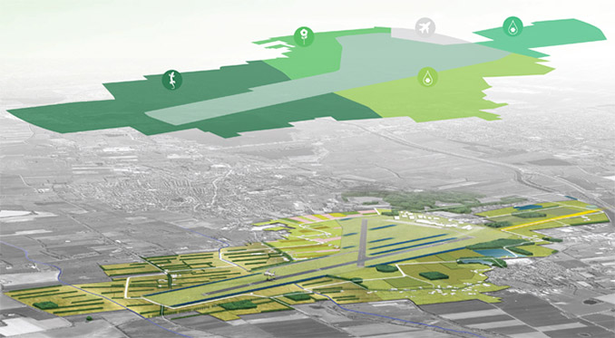
Except for the large solar field the area offers the opportunity to numerous other ways of generating energy. The restoration of hedgerow structures can go hand in hand with the harvest of biomass. Tracts of land that are owned by the airport or government can be planted with attractive energy crops such as coppice or rapeseed. If opportunities for distribution are provided it could also be attractive to farmers to use a part of their land for growing energy crops.
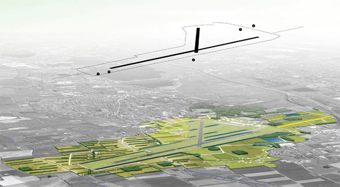
Existing energy related companies in the area can also jump on the bandwagon. The RWZI can produce energy by silt fermentation and the flower auction has a valuable renewable heat.
‘Aviation Energy Estate’ allows regional large scale relations such Energy Valley, Sensor City, Green Sustainable Airports, NNN (Netherlands Nature Network), Regiopark Groningen Assen en De Koningsas (Kings Axis) to be accentuated and shown to visitors and inhabitants of the region. It is positioning itself as an example of landscape and spatial connections between market, government, and society.
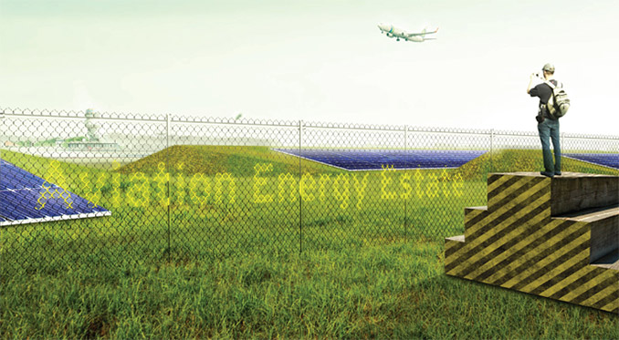
Aviation Energy Estate
Design Firm | MD Landschapsarchitecten
Images & Text | MD Landschapsarchitecten
Editor’s Note – a interesting conceptual idea however the reflectivity of solar panels in an airport would require a rigorous study to ensure safety of passengers.
