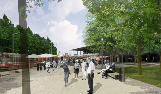
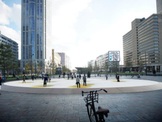
The city of Leidschendam-Voorburg, Netherlands has recently approved the design for an extensive transformation of the Station area . The urban plan, designed by POSAD spatial strategies, connects the different present scales, such as the historical center of Voorburg and the adjacent Binckhorst business park. The array of functions of the transport hub – railway, tram, bicycle and bus connections – will profit from this strategic transformation.The station area of Voorburg may be regarded as one of the most important transportation hubs of the Haaglanden district. In the eighties, railroads and highway were elevated and tram, bus and city traffic were positioned beneath the viaduct. This improved the flow of traffic, but at the same time divided historic city structures.
The promenade
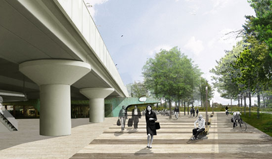
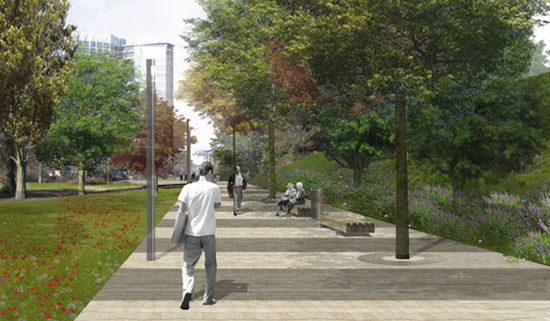
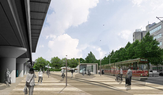
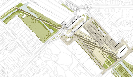
Offers a robust and secure pedestrian route between the historic center and the Binckhorst business park. The 600-metre-long route structures and connects the different functions of the transport hub with the landscape and park. Instead of denying the large overpass, it uses the superimposed diagonal line to bring balance to the various historic layers and functions.
Optimal transit
The transit between the different ways of transport is simplified and the passengers will experience a clear, pleasant and safe public area. Aside from the masterplan, POSAD will design various architectural elements like the tram stop, benches and lighting elements. The station square will have a multifunctional character, so markets and other social gatherings are an option.
Spatial options
The Voorburg station will function as the main public transportation hub for the Binckhorst business park, being one of the key urban developments of the Haaglanden region in the decades to come. The urban plan provides a solution that transcends the municipal boundaries and will provide a future-proof alternative for high quality public transport.
Nodal development Voorburg, Netherlands
Company: POSAD spatial strategies
Client: Municipality of Leidschendam – Voorburg
Project year: 2010 ongoing
IMAGE CREDIT: POSAD spatial strategies

