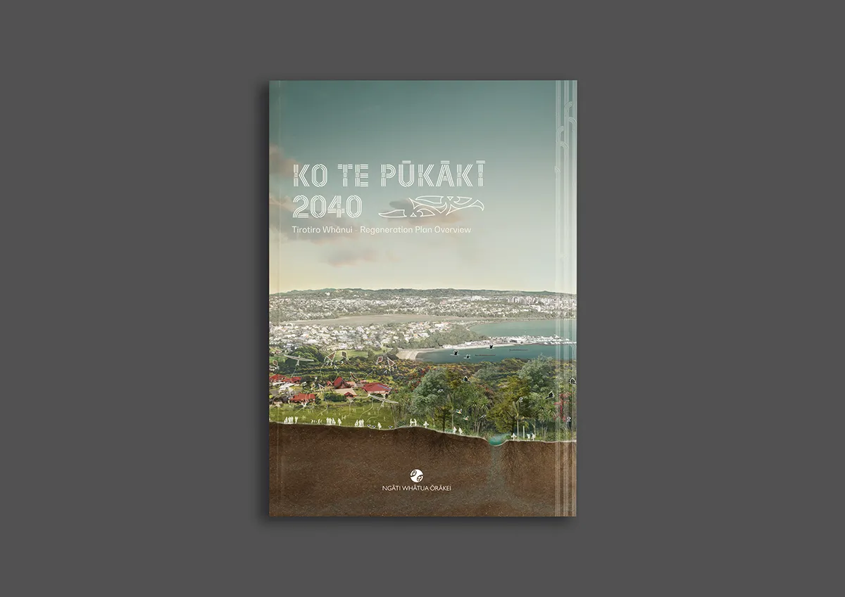
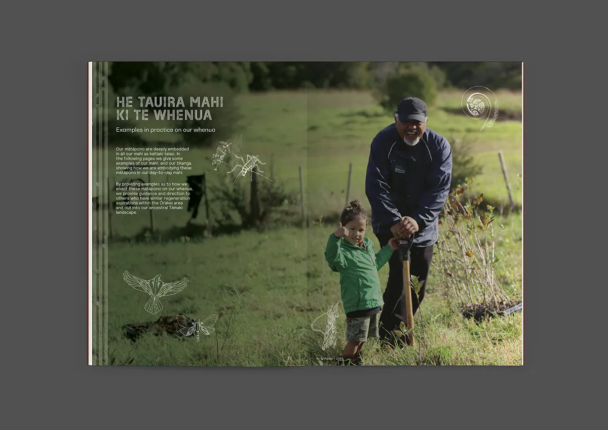
Ngāti Whātua Ōrākei (NWŌ) are the indigenous people of Tāmaki Makaurau/central Auckland, the largest and most populated city in Aotearoa/New Zealand. Close to the city centre, Tumutumuwhenua (their traditional carved house) stands proudly within their thriving papakāinga (tribal village) upon the whenua (land) they refer to as the Whatu Toto (heart’s blood). Ko Te Pūkākī 2040 (KTP) is a unique NWŌ-led regeneration programme to establish a thriving, resilient environment which places their people, practices and culture at the heart of this programme.
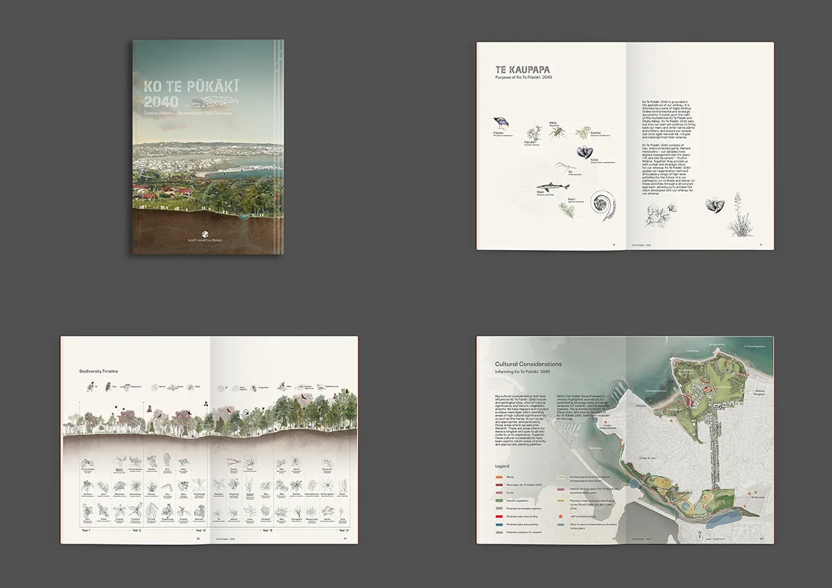
The programme consists of two, interconnected parts; Mahere Hōmiromiro – a detailed, time aligned management plan, and Tirotiro Whānui a snapshot in time and an access point into the broader taiao (environmental) kaupapa (project). Together they provide a framework that sets the pathway for the continued regeneration of the whenua until 2040.
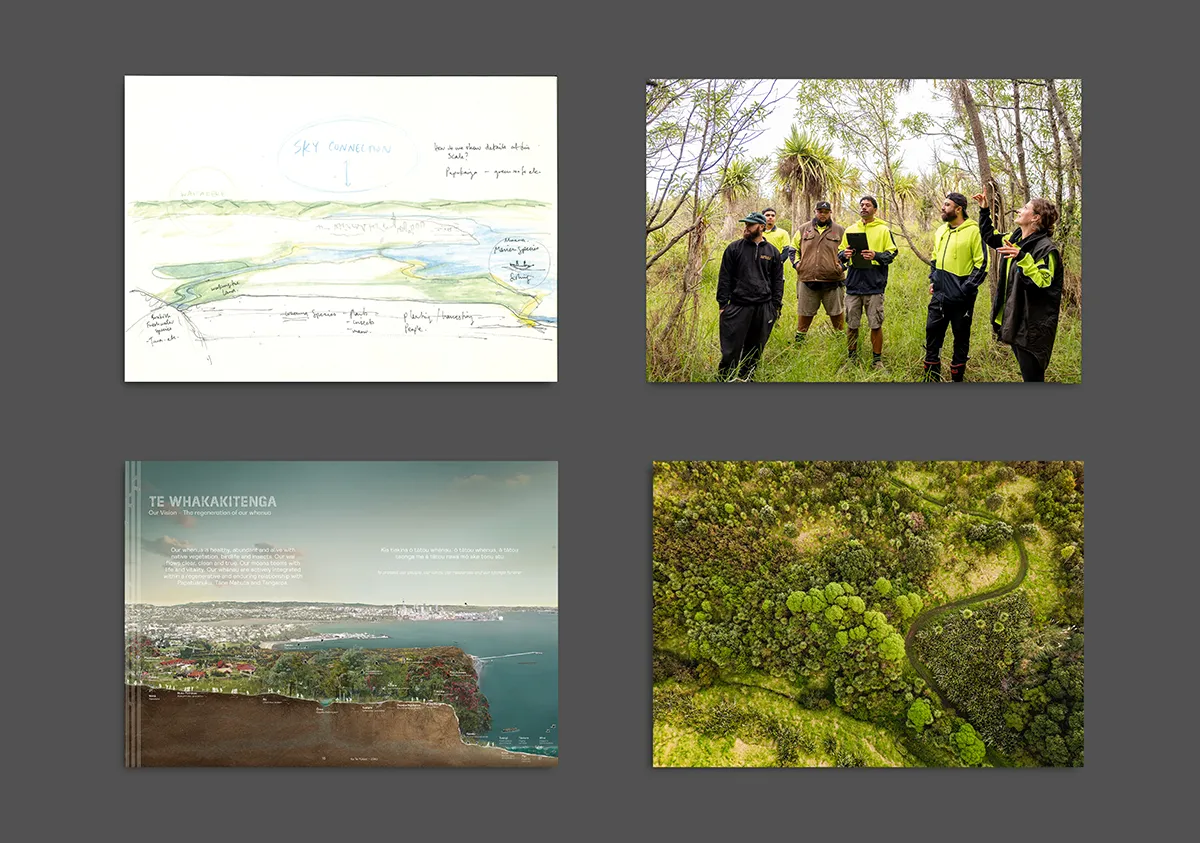
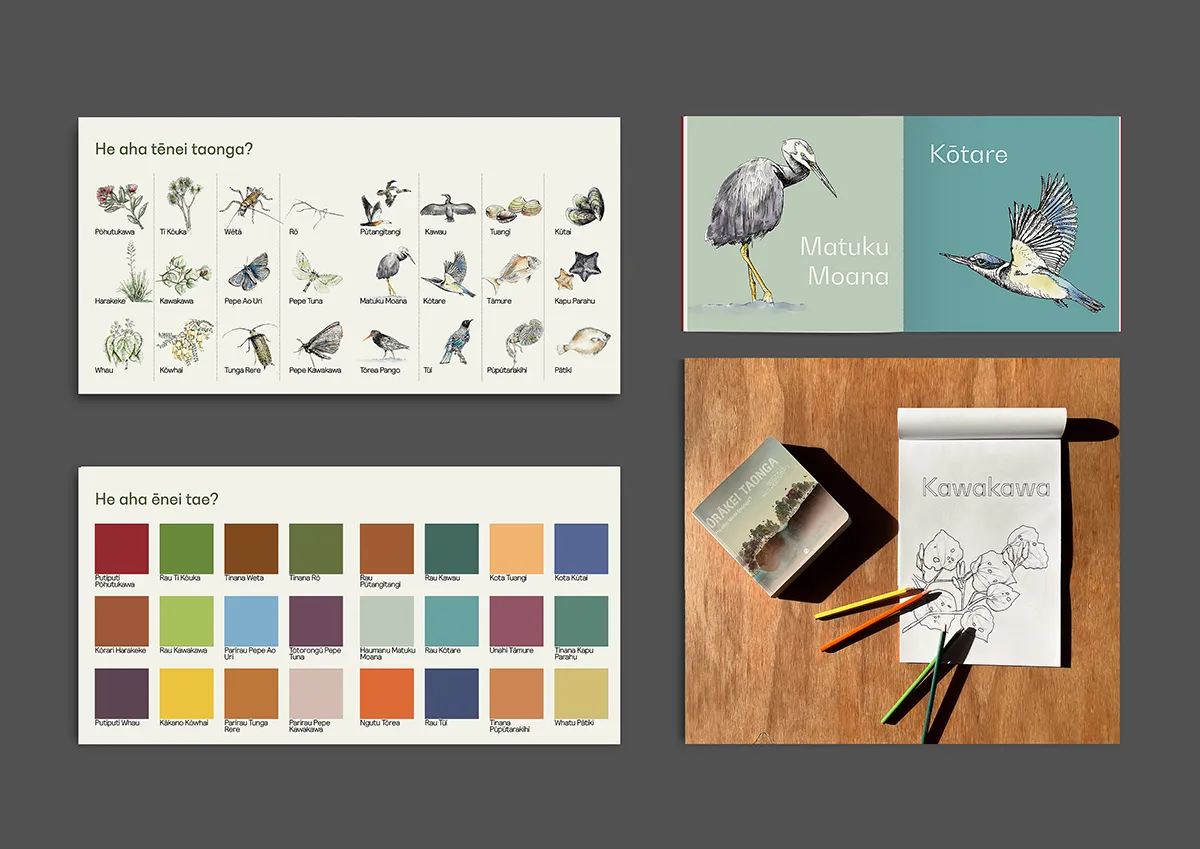
A collaborative design team has supported Ngāti Whātua Ōrākei in the shaping of this work with the tools of landscape architecture and ecology, and in particular providing support for mapping and graphic communication of the regeneration plan. It is here that these tools and geo-spatial technologies have meshed with mātauranga (traditional knowledge) to create a unique and place-led regeneration plan which articulates the intent, the aspiration and the reverence the people have for their land.
The plan is anchored by lived tribal experience; korero (conversation) with whānau (our people), review of historic documents, walking across the whenua, observing the natural changes in our taiao. Geo-spatial and project management technologies have been applied to determine methodologies, resourcing and timelines calibrated to maximise regenerative effect of labour over time.
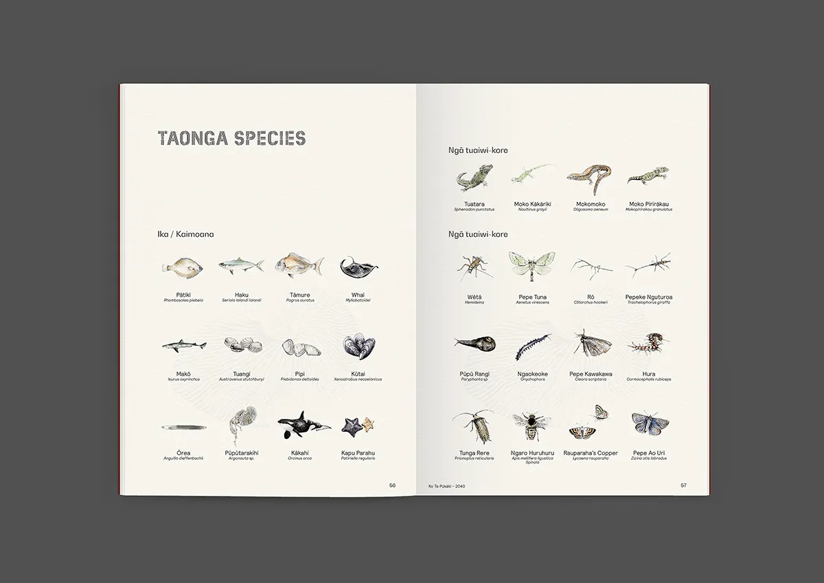
This comprehensive, detailed approach can be seen in Rākau Whakaara (significant trees). We layered historical aerial images and cultural discussion with landscape-based GPS locations to identify large trees that were witness to historic tribal events. By naming these trees we acknowledge the mauri (life force) they imbue this place with, and offer the community both an ancestor to connect too, and a living recognition of key moments in history.
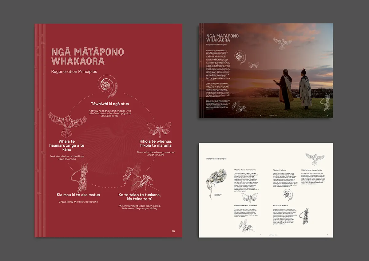
This strong collaboration between the designers and Ngāti Whātua Ōrākei imparted a sound landscape-based knowledge, logical judgement, and a unique graphic character and beauty that carries the intent and aspirations of the tribe. The publication speaks directly of and to the whenua itself. The tenor of the graphics carries an underlying subtlety and humility with clarity, all characteristics highly valued by the tribe.
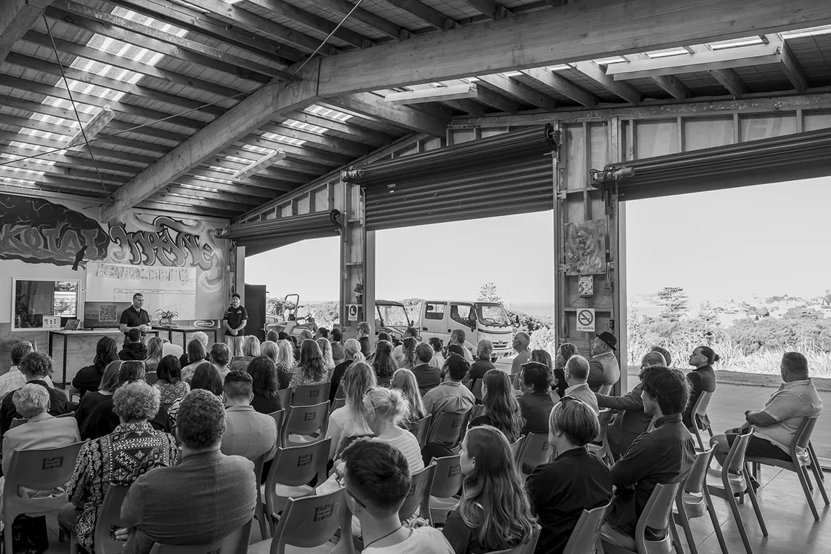
In capturing this innate character, the regeneration plan is also proving a powerful and persuasive tool for inspiring involvement, resourcing and the adoption of practice by the broader community and local government agencies.
Ultimately Ko Te Pūkākī is a statement of intent, a manifesto for change, and a call to arms. It establishes a unique urban indigenous practice for environmental regeneration that is deeply interwoven with tribal culture and these lands. It is a collaborative, meaningful and elegant gift to those who have gone before, to those yet to come and importantly to the special place in the world that Ngāti Whātua Ōrākei call theirs.
KO TE PŪKĀKĪ
Location: Tāmaki Makaurau, Aotearoa | Auckland, New Zealand
Designer Credit: LandLAB + Ngāti Whatua Ōrākei
Client: Ngāti Whatua Ōrākei
Collaborators/Other Consultants: Wyatt Dooley, Revival LTD
Photographer/Image Credits: Ngāti Whātua Ōrākei, Graham Tipene, Ethan Reid, LandLAB and Hood and Co.