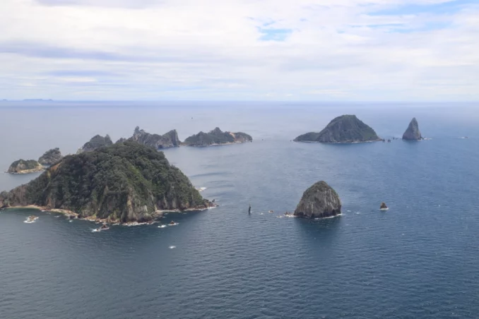
A significant portion of Aotearoa, New Zealand, has undergone comprehensive assessments to determine landscape character and identify Outstanding Natural Features and Landscapes. However, most of these assessments have predominantly focused on terrestrial areas, leaving coastal and marine environments relatively unexplored. The Waikato Regional Seascape Study (2023) is a first-of-its-kind assessment in the sense that it solely relates to the seascape of the marine environment. The study endeavours to provide clarity and greater levels of understanding around the concept of seascape as part of the landscape.
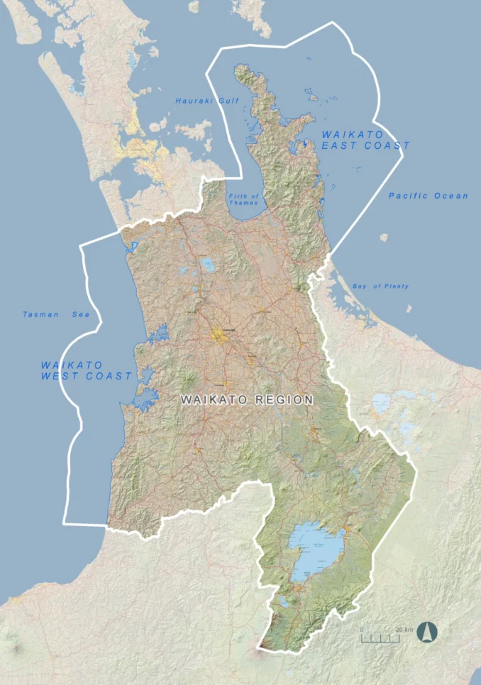
While seascape studies have been undertaken internationally, the concept has been little used or understood in an Aotearoa New Zealand context. This Study addresses the seascapes of the Waikato Region, which include the Firth of Thames, eastern Hauraki Gulf, western Coromandel waters and those on the west coast, including Whaaingaroa (Raglan), Aotea and Kaawhia Harbours, by identifying, mapping and listing their respective values; and identifies candidates for Outstanding Natural Features and Outstanding Natural Landscapes in the Coastal Marine Area (CMA).
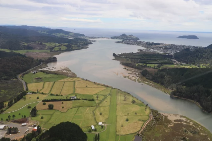
The Study describes, at a high level, likely pressures and threats to values in the Coastal Marine Area (CMA), which will lead onto regulatory or non-regulatory mechanisms to appropriately manage the Waikato Region seascape.
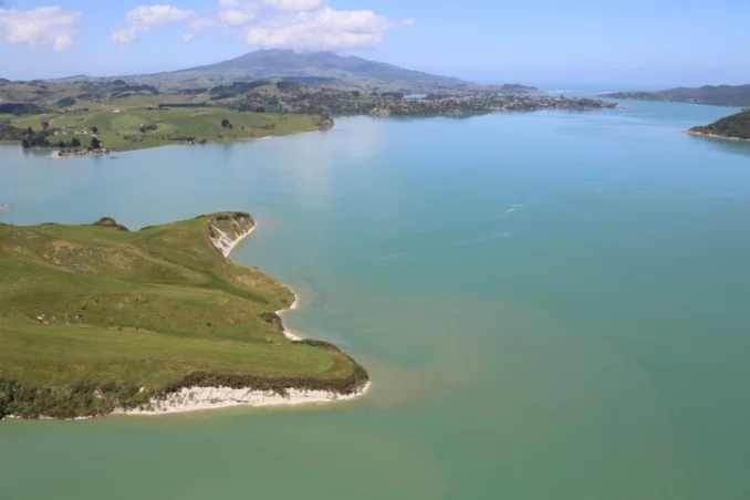
The Waikato Regional Seascape Study is the first assessment to incorporate the principles outlined in Te Tangi a Te Manu | The Aotearoa New Zealand Landscape Assessment Guidelines. Waikato Regional Council and Boffa Miskell have produced an assessment report that is a significant leap forward in terms of its subject matter, methodology, and robust findings.
The Study’s primary objective was to generate evidence for coastal and marine spatial planning and policy development for the Waikato Regional Coastal Plan review. The Study went beyond identifying exceptional or outstanding seascapes and delved into the specific attributes that justify their protection. This approach provides a strong foundation for conducting more comprehensive susceptibility assessments or issue-based evaluations, including assessing aquaculture suitability within Outstanding Natural Landscapes (ONLs).
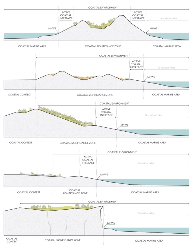

Key elements of this seascape assessment include data collection, identifying seascape character areas, evaluating values (ecological, cultural, recreational), and identifying areas of Outstanding Natural Features and Landscapes. The evaluative exercise builds upon data gathered to determine the values contributing to the seascape and warrant specific protection under legislation. Tangata Whenua engagement was an essential component of the seascape assessment. Te Ao Maori values are integrated throughout the study and draw upon existing iwi management plans and supporting documents.
The Study provides a comprehensive understanding of the coastal and marine environment, its values, and the challenges it faces concerning landscape considerations. It is a foundation for informed decision-making and the development of effective management strategies to protect and sustainably utilise the seascape’s resources for present and future generations.
Waikato Regional Seascape Study
Boffa Miskell: Rebecca Ryder, FNZILA; James Bentley, Julia Wick, Te Pio Kawe, Brian McAuslan, David Hill, Vanessa Le Grand Jacob
External Peer Review: Gavin Lister, FNZILA
Client: Waikato Regional Council
Project Date: 2019 – 2023
Image Credits: Boffa Miskell
