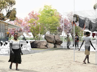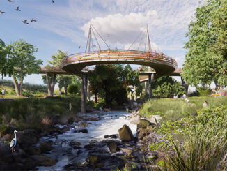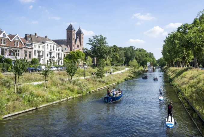
In the 20th century Catharijnesingel became Catharijnebaan: an unattractive urban highway dominated by asphalt and concrete. As the water returned to the historic Canal area, it brought along a new natural park route right into one of the busiest areas in the Netherlands: the result was an urban landscape that was fully connected to the past, the present and the future.
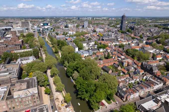
The completion of Catharijnesingel marks a momentous achievement in the 20-year project to restore the city canal, going beyond historical and ecological preservation. It symbolizes a pivotal element in the revitalization of the station area, transforming it into a pedestrian-friendly, green urban space that beautifully blends old and new. Moreover, this project plays a crucial role in creating a climate-adaptive city centre, addressing the challenges posed by climate change.
The roots of Catharijnesingel trace back 900 years when Utrecht was granted city rights in 1122 AD. A five-kilometre-long outer canal was constructed during that time, playing a significant role in the city’s development over centuries. However, in the 19th century, as the need for defensive walls diminished, a park designed by Jan David Zocher was established on a portion of the former defensive works.
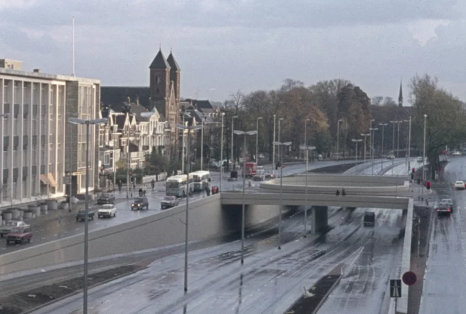
In 1958, the future of Catharijnesingel was at risk due to the prioritization of car accessibility, with plans for a ring road proposed by Max Erich Feuchtinger. Despite some parts of the canal being drained in 1969 for the construction of an urban motorway, the campaign for restoration persisted. A referendum in 2002 demonstrated public support for the project.
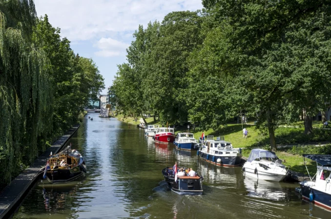
The restoration process involved a collaborative effort between the municipality, the residents, and the landscape architects. The resulting design revived the waterway while creating a park along the shore, inspired by Zocher’s style with contemporary ecological considerations.
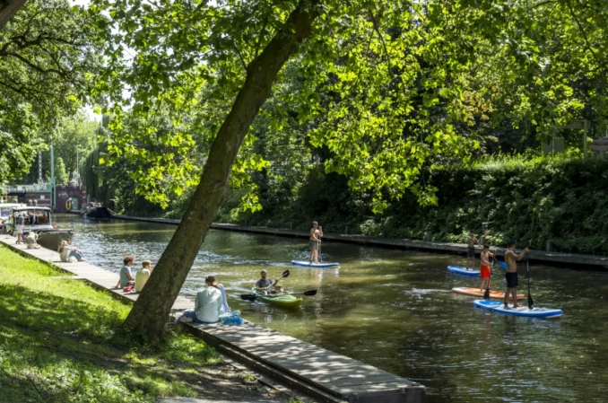
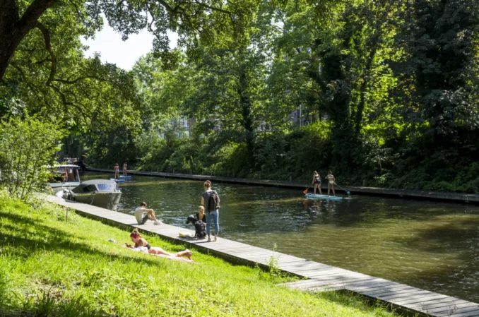
The vision for a “Connected City” aims to break down barriers between various parts of the centre, to prioritise pedestrians and shift to towards slow modes of transportation. Green spaces and biodiversity take central stage, creating inviting social interaction spaces for citizens. The restored canal acts as a climate-adaptive backbone for the city centre, with a comprehensive analysis identifying the canal’s contributions to climate issues and proposing additional interventions.
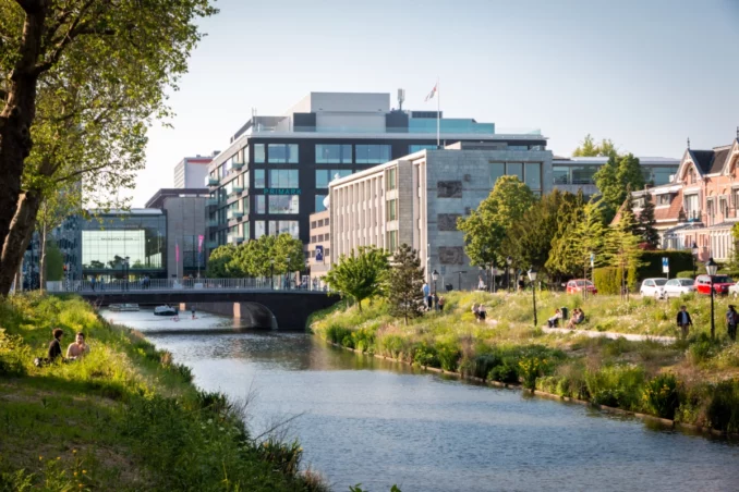
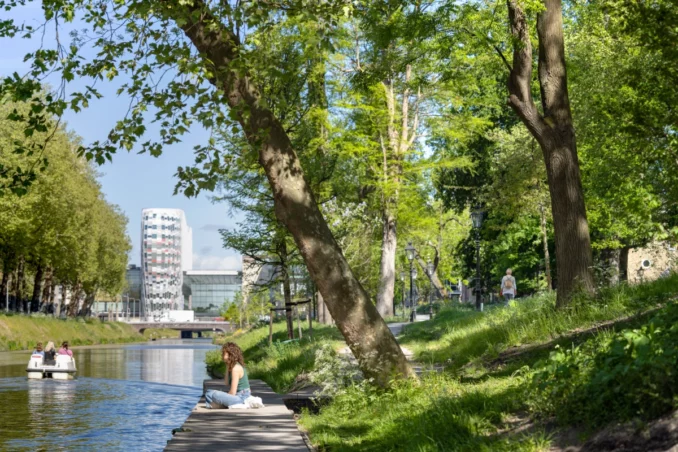
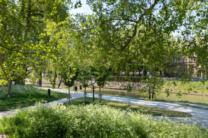
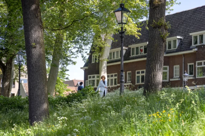
The ongoing urban renewal efforts in Utrecht’s city centre focus on enhancing walkability, reducing car traffic, and creating more space for cyclists and pedestrians. The design of Catharijnesingel carefully incorporates historical elements while integrating nature-inclusivity and ecological considerations. The canal and park offer recreational opportunities, with a variety of trees and features to attract biodiversity.
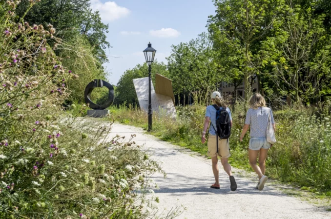
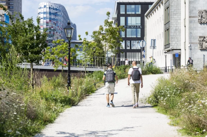
The impact of this restoration extends beyond its immediate surroundings, forming part of a broader connecting axis in the city, exemplifying collaboration in walkability, climate adaptation, and cultural heritage restoration.
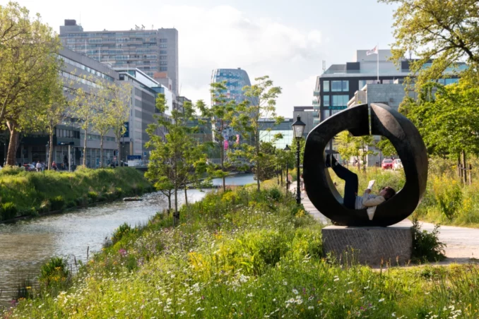
Catharijnesingel’s success lies in its ability to bridge history, ecology, and urban development, breathing new life into a cherished part of Utrecht while fostering a vibrant and sustainable urban environment for the future.
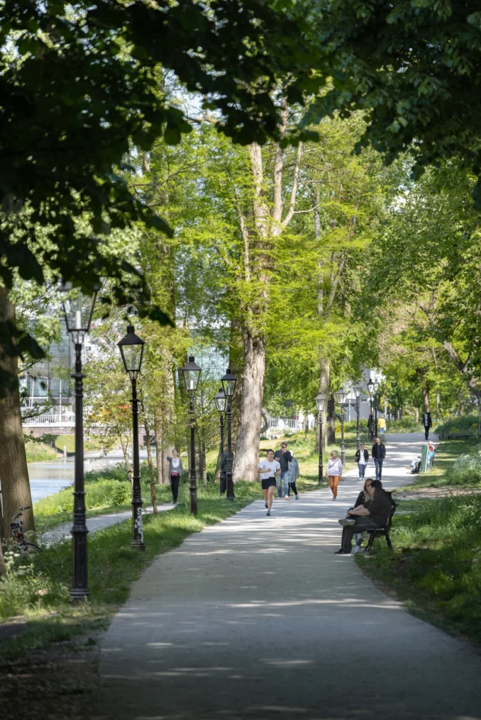
Catharijnesingel
Location: Utrecht, the Netherlands
Landscape Architects: OKRA landscape architects
Collaborators: Municipality of Utrecht, Witteveen+Bos, D. van der Steen BV
Photography credits: Stijn Poelstra, Antoine Thevenet, Melle van Dijk
Drawings credits: OKRA landscape architects


